What kind of map do you need?
Pick the situation that looks like yours. You will see straight away what is possible and which map fits.



Events & festivals
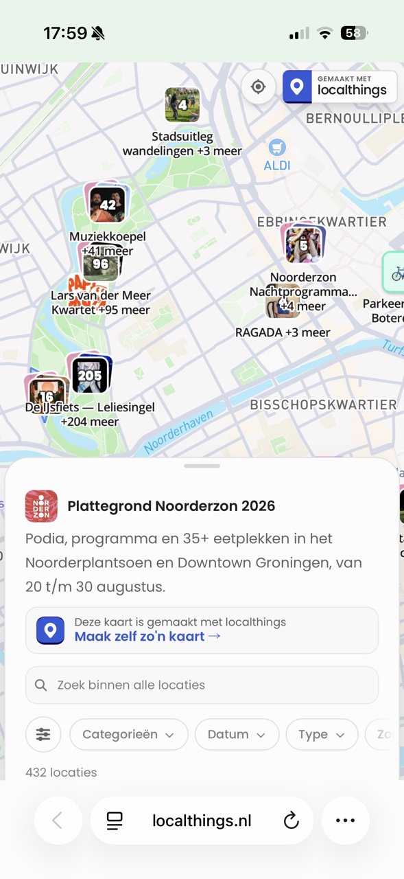
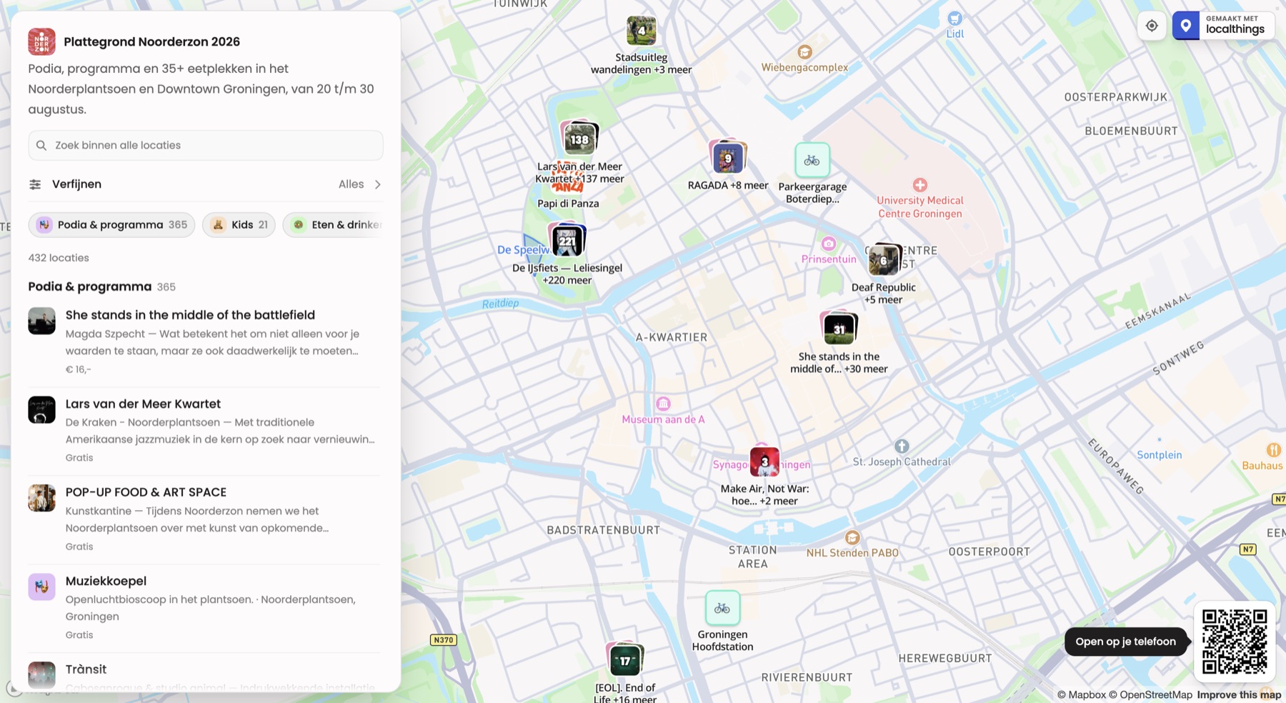
Move a stage, everyone sees it.
One site map on every visitor's phone, which you update while the event is running. Stages, food, toilets and first aid are on there as categories.
Draw areas
Show a location as an area instead of a single coordinate. That way you outline a zone in a few clicks, from parking areas to dog off-leash zones.
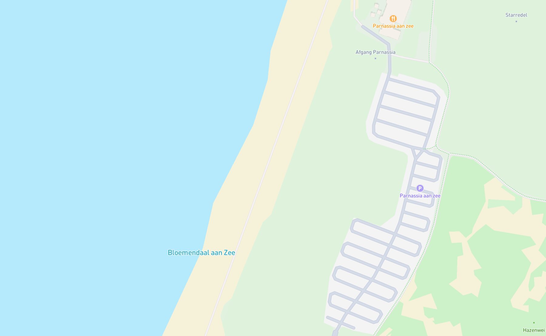
Use smart fields
Hand your visitors live information up front: whether a spot is open now, how far the walk is and what you can get there.
Pick your map
Venue and site maps the walkthrough, from empty grounds to QR code.
Draw areas on a map zones and grounds, without GIS software.
Facilities & community
A PDF helps nobody find anything.
Every facility on one map, with exactly what is possible, allowed and open per location, and an extra layer inside your categories. Updating is a table, not a project.
Get your own data onto the map
Paste from a spreadsheet or import a file, and your locations land straight in the table. Your columns become fields, no retyping.
Paste it from your spreadsheet
Select your rows in Excel or Google Sheets and paste them straight into your map. ⌘K opens the add menu, ⌘V drops your rows in.
Or import a file
Got an export from another system? Drop in your CSV or JSON file and pick which column belongs to which field.
Group inside your categories
Top-level categories with their own colour and icon, and within one you group further by place, theme or year, even at hundreds of locations.
Choose which fields visitors see
Opening hours, what is and is not possible, contact details or your own attributes: per location you decide what is on show.

South Italian panzerotti and cannoli.
- Takeaway
- Open during the festival area's opening hours
Pick your map
- Facilities & resources
Per location, what is possible, allowed and open, down to the detail.
- Local government & districts
Public facilities, accessible to every resident.
- Neighbourhood & engagement
Involve residents in the places and plans around them.
- Clubs & associations
Locations, members and activities in one clear view.
- Healthcare & wellbeing
Patients quickly find the right location nearby.
- Charities & nonprofits
Show where your projects and your impact are.
- Education & campus
Buildings, faculties and facilities in one overview.
Make a map from Excel from spreadsheet to map, column by column.
Map from a list of addresses addresses in, points on the map out.
Businesses & shopping areas
Your branch list is not a map.
The list you already have becomes a map where customers find the nearest branch, on your own site and in your own colours. No development project.
One category, every pin style
This is one category, in every pin style you can pick. The animation shows what a visitor actually sees.
Start with what you have
Import your branches from Excel, Google Sheets or a CSV, and your addresses become points on the map without retyping anything.
Let customers find your branch
Visitors search by town or use their own location, find the nearest branch and tap through to directions in their own maps app.
Pick your map
Make a map from Excel from spreadsheet to map, column by column.
Embed a map on your website the embed code and where to put it.
Tourism & recreation
Your region fits on one map.
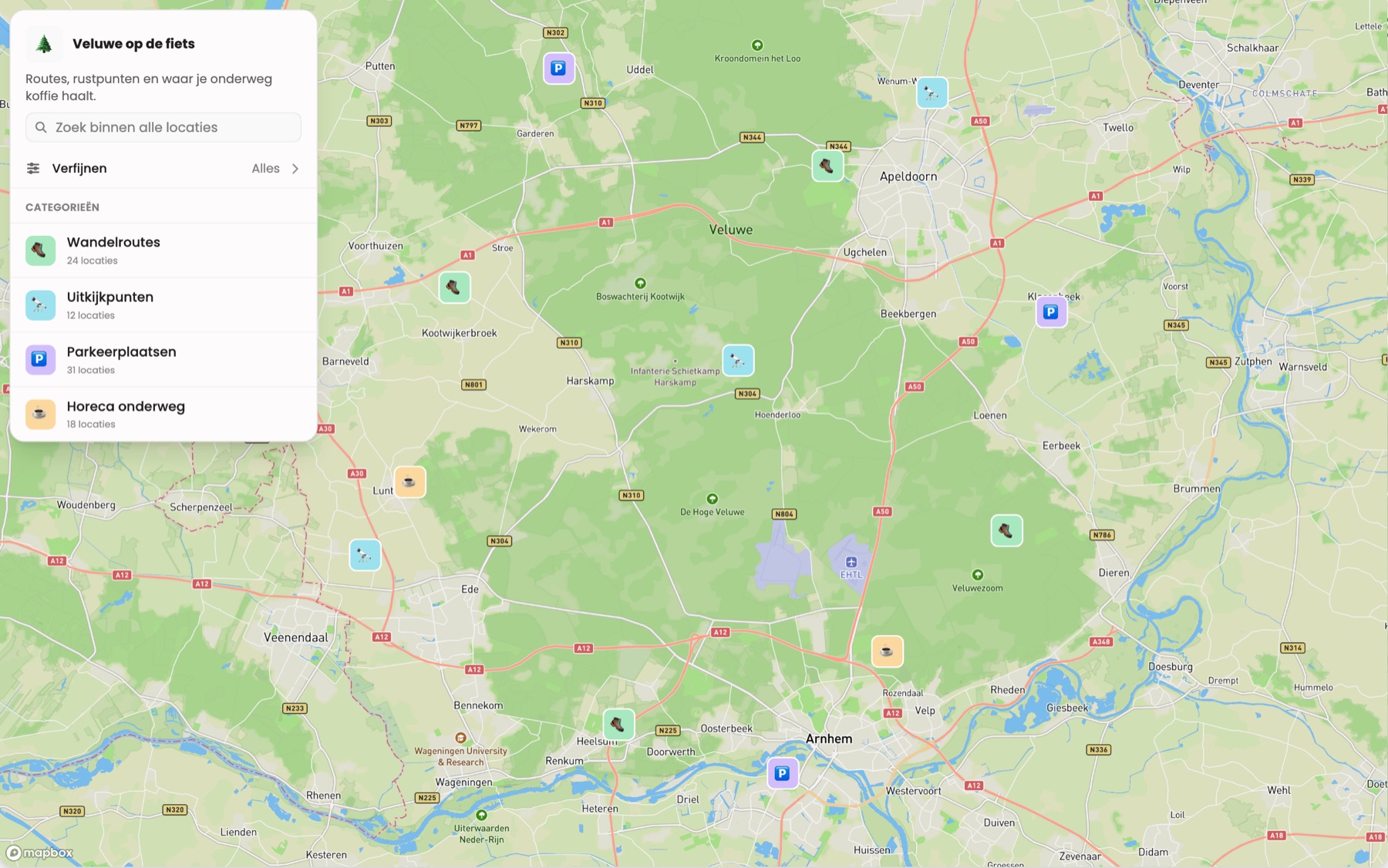
Everything there is to see, do and taste, together and updated as the season changes. No leaflet that is out of date at the printer.
Our own outings map, live in the atlas
View the map →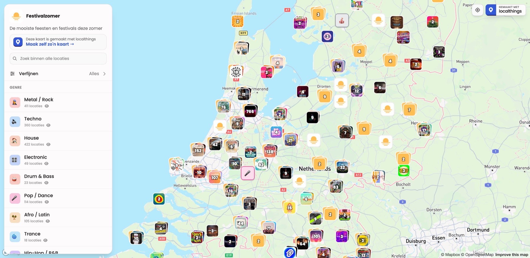
Filter for what you want
Food, culture, nature and events each get their own colour and icon, and visitors switch on only what they want to see.
Give every place a story
A photo, a description and opening hours per location, so a point on the map is more than an address on a list.
Share one link
A QR code on your leaflet, the same link in your newsletter, an embed on your site: change something and it is right everywhere at once.
Pick your map
- Tourism & destinations
Sights, routes and places to eat on a single map.
- City marketing
Promote your city or region on one living map.
- Nature, parks & recreation
Routes, facilities and highlights in the green.
- Routes & trails
Walking and cycling routes with stops and highlights.
- Campsite & holiday park
Guests find their pitch and every facility on the park.
Map with multiple locations keeping hundreds of points readable.
Interactive map maker the basics, from adding locations to publishing.
No quotes, no setup fees.
Everything above starts free. Your own domain and the map fully in your own branding are part of Premium.
See the pricing →